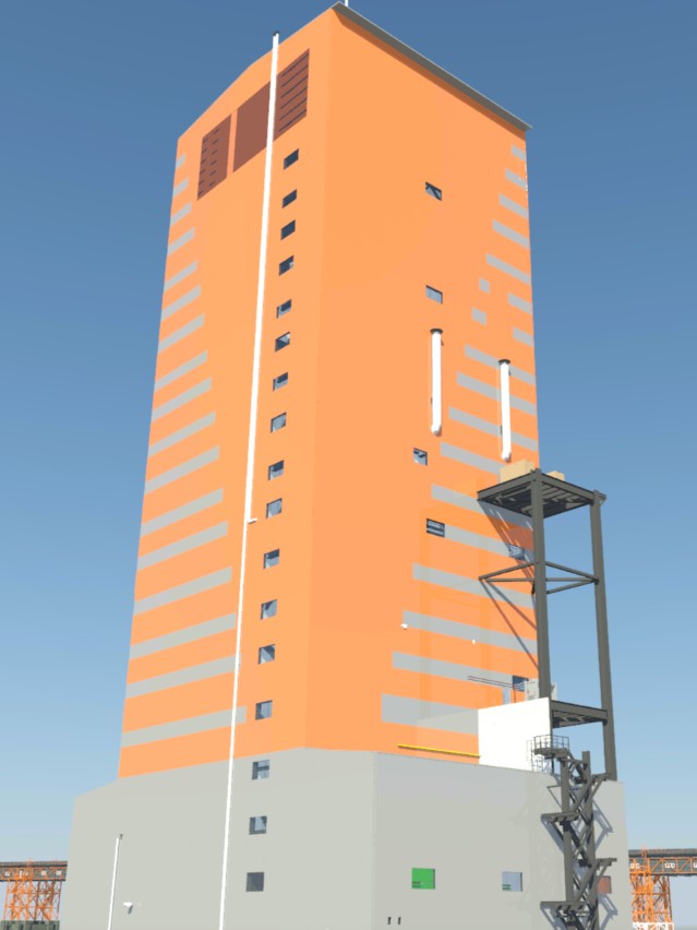
3D scanning of construction, industrial and architectural objects
The cleaned and registered point cloud created from the raw data from the laser scanner is intended to help further for the:
This service is especially relevant when reconstructing industrial facilities. After all, design documentation for the facility is often either missing or has long been out of date. And getting a real picture of the structure, and even more so placing new equipment on it, becomes a far from trivial task. In this case, our specialists can not only create a 3D\BIM model, but also scan the existing production using the most advanced equipment. And, combining the data, get a visual and highly informative model.
If you are faced with the task of reconstructing or upgrading an object, developing technical documentation or measuring the geometry of a building with high accuracy, you can obtain a 3D model using an industrial terrestrial 3D scanner and specialized software. We offer a wide range of modern geodetic scanners for both high-precision professional surveying and entry-level users.
3D laser scanning solutions enable surveyors to perform accurate surveys and eliminate the need for re-measurements, allowing errors to be identified early in the design and construction process. Surveyors also play a vital role in using 3D laser scanning to improve the planning, design, construction, maintenance and retrofitting of buildings.
