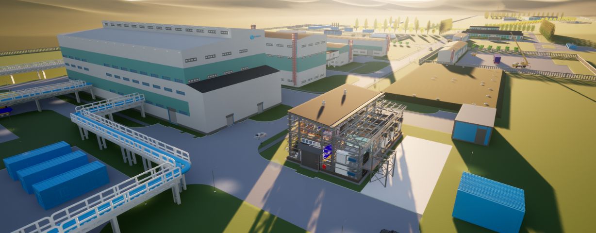
Laser scanning also enables the efficient creation of precise maps and digital models for engineering studies and infrastructure assessments. Such scans provide detailed information on the geometry of objects, their dimensions and locations, which allows architects and engineers to plan a project accurately. For example, it can be used to quickly and accurately measure heights, distances and angles, which is important when designing complex engineering systems such as ventilation, heating or power supply. In the case of restoration of historical buildings, scanning allows preserving architectural features and details without damaging the structure, as well as conducting analysis with maximum accuracy.
By using data from 3D scanners, design and construction processes become more predictable, errors are reduced, and turnaround times are significantly reduced. In addition, such technologies help in the future maintenance of buildings, as accurate models can be used for repairs and renovation planning.
